
April 1, 2021
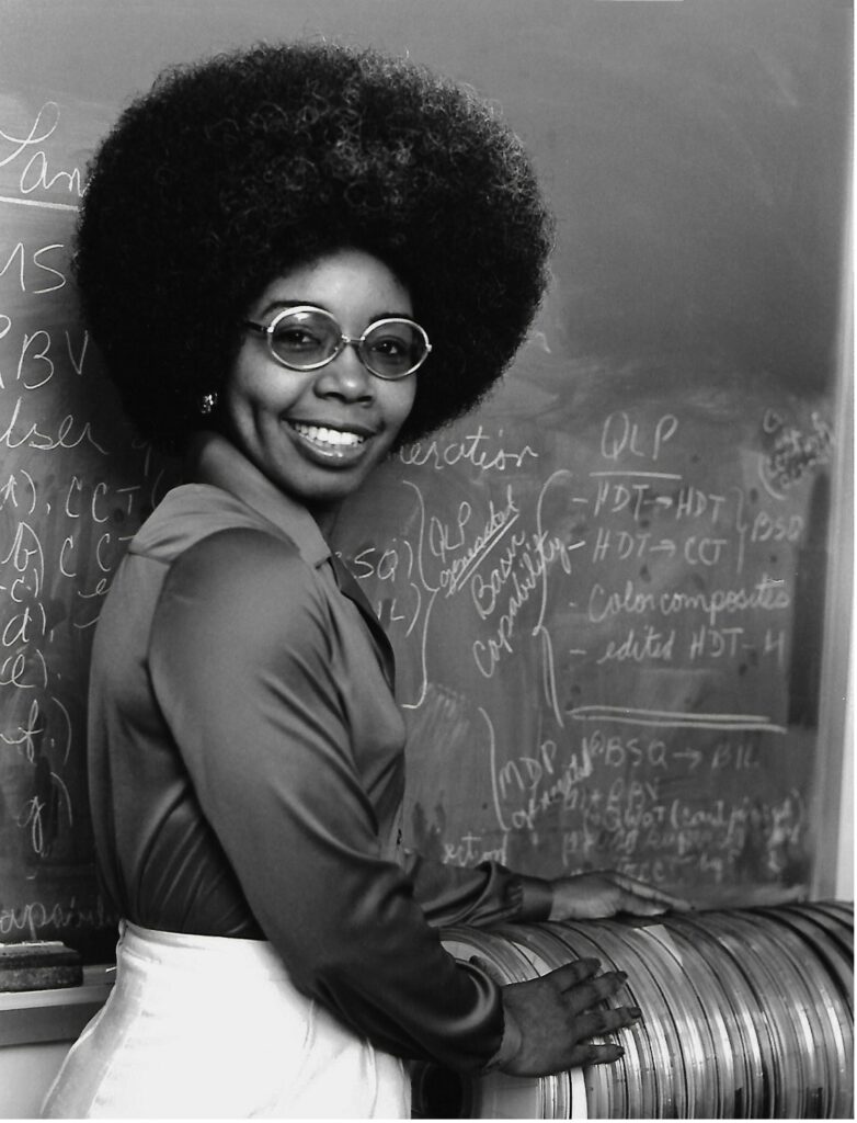

Photons Used as “Zip Ties” to Bind Electrons Together
Figure 1: The photoelectric effect as explained by Albert Einstein....
Read More
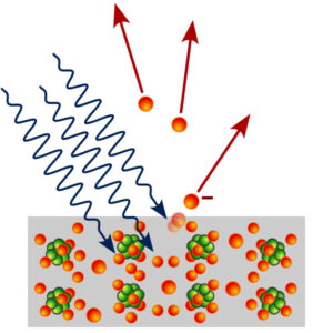
Primordial Black Holes: The Key to Dark Matter?
Figure 1: The first picture of a blackhole Source: Wikimedia...
Read More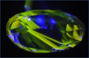
UV-Vis Spectroscopy: A Step in the Light Direction
Executive Board Advisor: Nishi Jain Co-Authors: Daniela Galvez-Cepeda, Katherine Faulkner,...
Read More
Comments are closed.